Gallery
From drawing board to drone view
A look at our work across Kenya — fieldwork, studios, deliverables and developments.
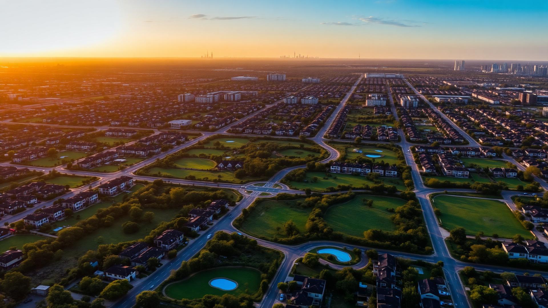
Aerial · Nairobi metro
Planned residential corridor
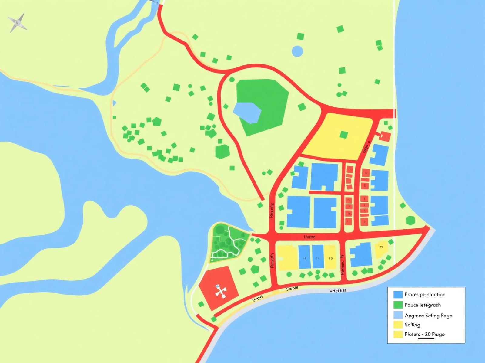
Geospatial
County GIS zoning overlay
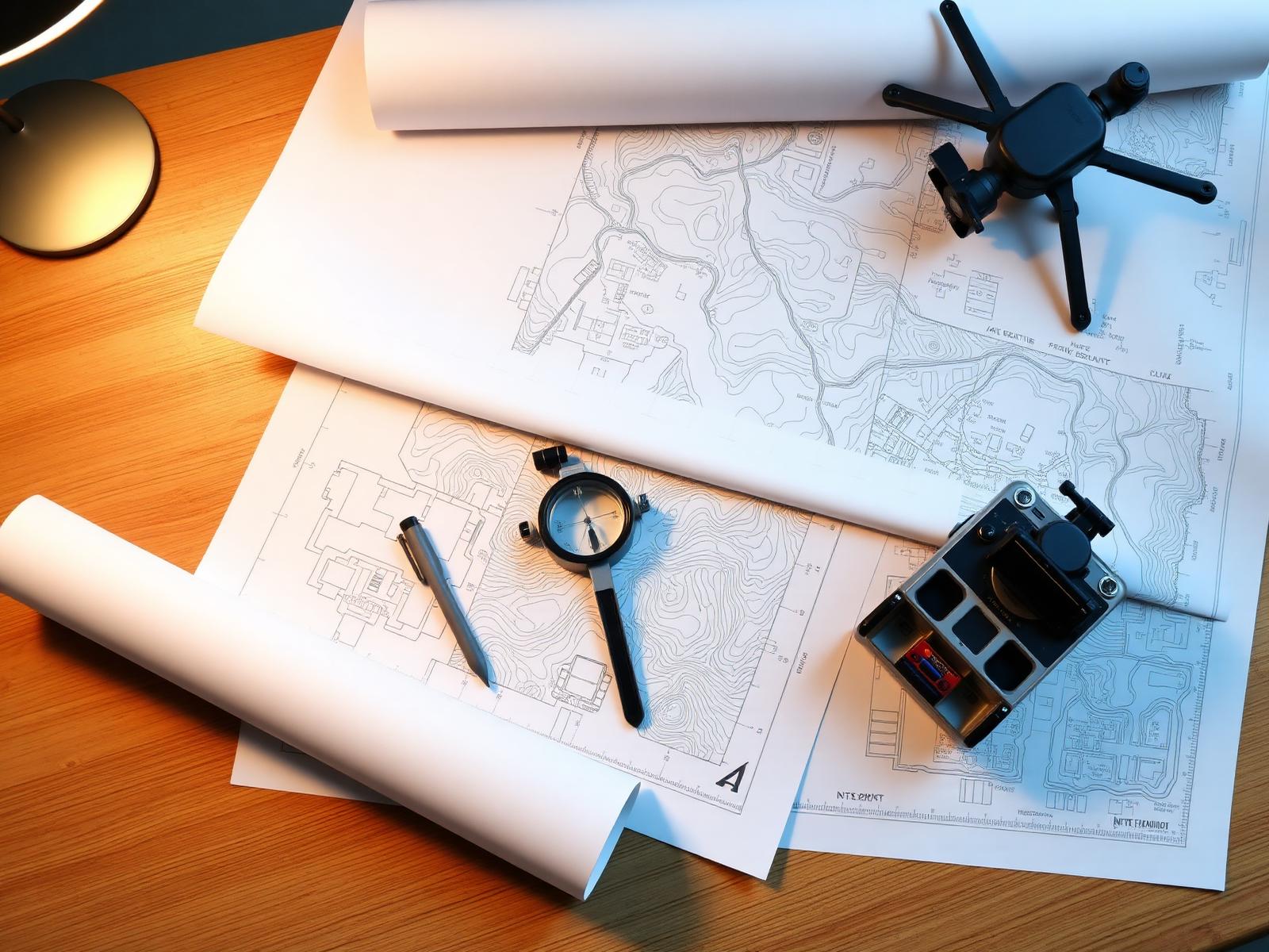
Studio · Thika
Team review on a master plan
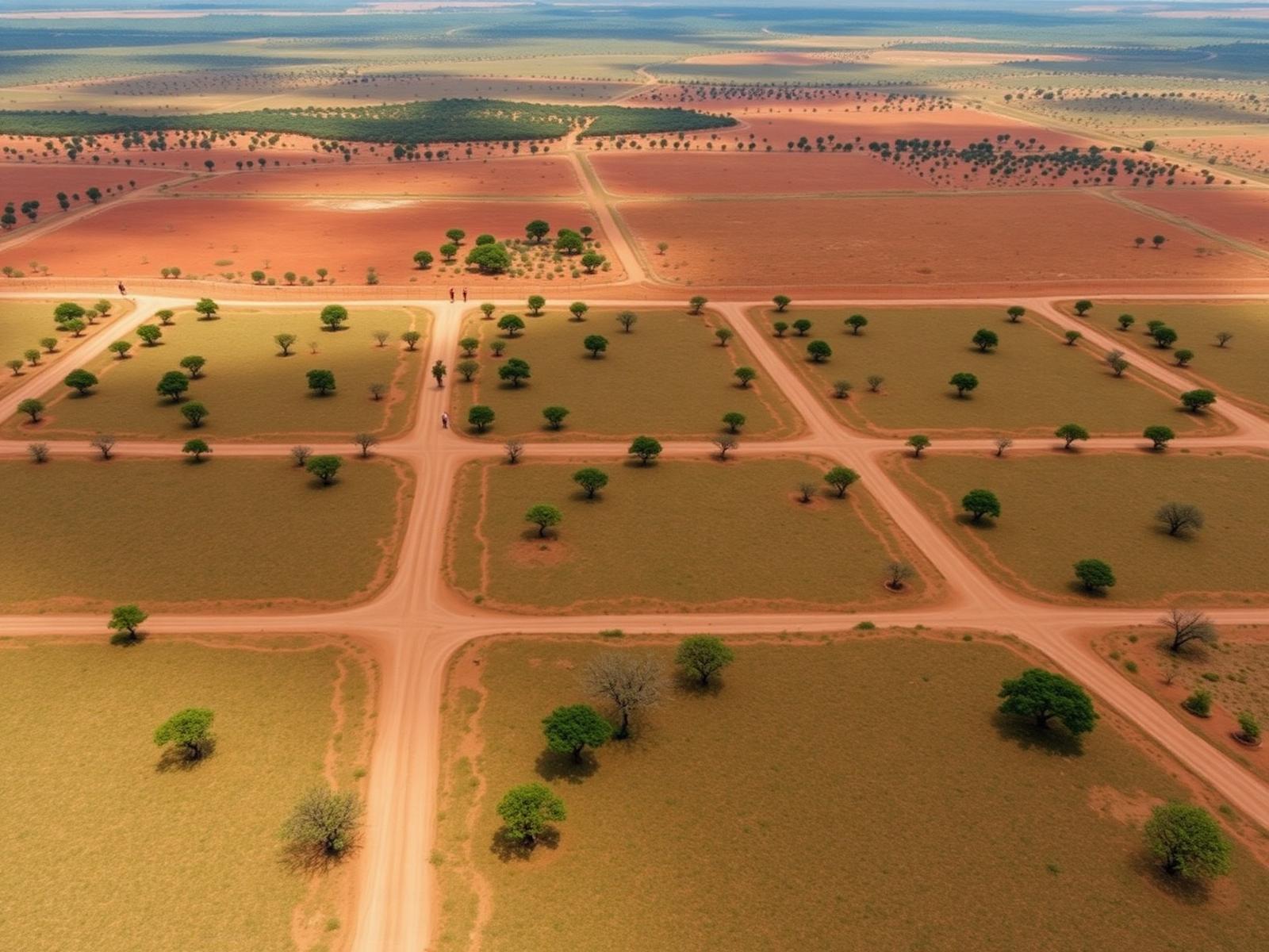
Aerial · Kiambu
Subdivision in progress
Master plan
Roads & utilities framework
GIS
Remote sensing analysis
Aerial
Phased development layout
Engagement
Stakeholder briefing
Want imagery for your own project?
From drone surveys to orthomosaics — we capture and visualise your site.